A typical November day, a bit dull, damp in the air but the cloud just high enough for our circuit. Ten people met in Langcliffe car park but a bit early for the local residents to be up and out so space a bit limited.

Catrigg Force, the North Craven Fault .
Photo Ann Shaw
The walk starts along a lovely green lane heading towards Stainforth but continues up the steep side of the quarry to Winskill, then on to Catrigg Force where Catrigg beck falls through a limestone cliff of 12m, then becomes Stainforth Beck at the bottom. Here we meet the North Craven Fault which runs through the force, roughly east-west, we had coffee while taking photographs.

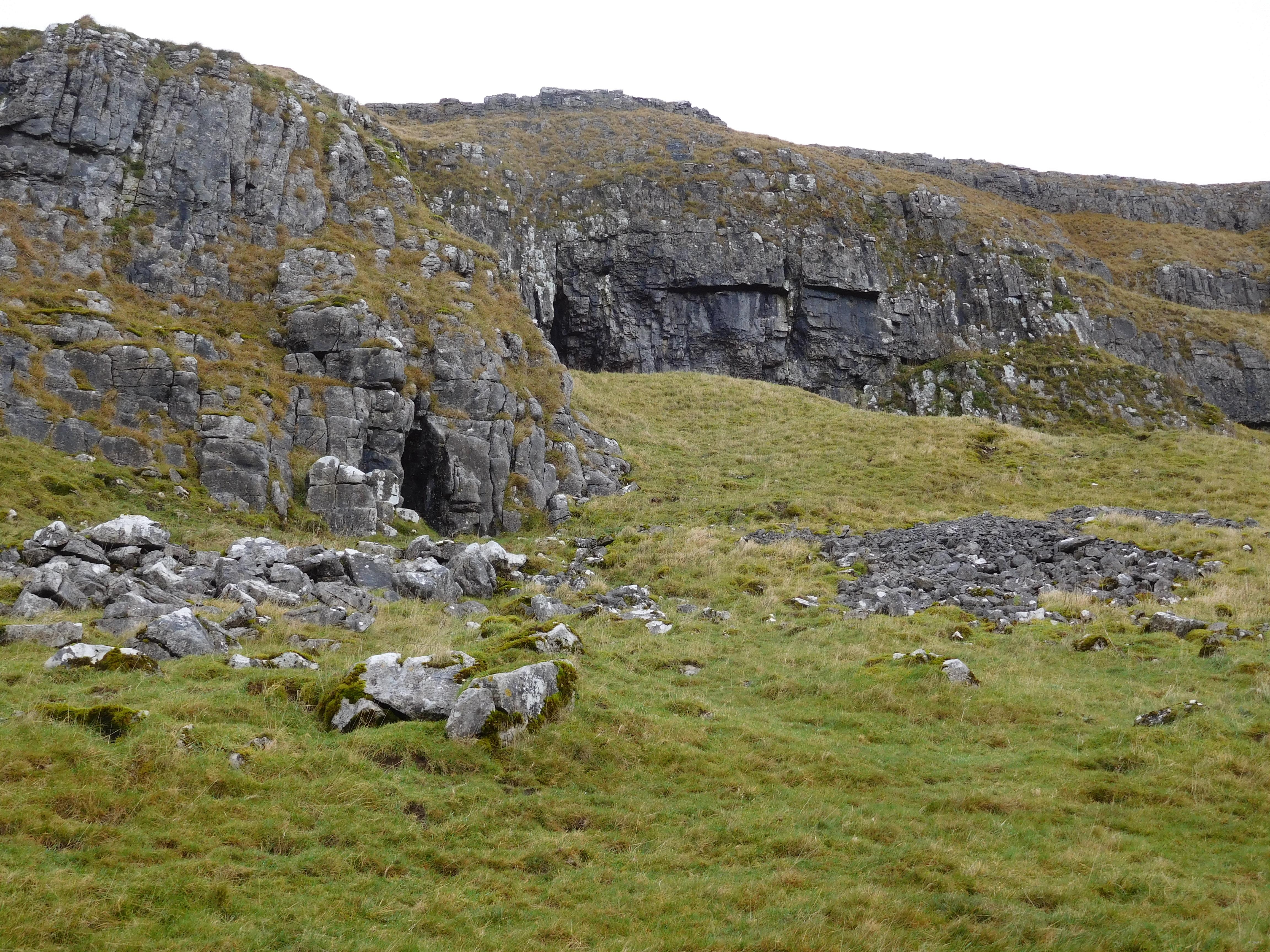
Victoria Cave in Attermire Scar. Photo Ann Shaw
A track and the road took us to Winskill stones and the turn up a wide green path towards the famous caves and scars. Jubilee Caves and Victoria Cave were only admired from a distance, but we thought of the warmer climate that allowed hippo hyena and other animals to roam these lands and later Neolithic and Romano-British peoples. Studying the layers of material in the caves has led to Geological disagreements and evidence of climate change and much more. Now we were walking along the Mid Craven Fault, the scars containing the caves being the scarp of higher and older limestone rocks than those beneath our footpath, with a displacement of 170m. Ahead was a large flat looking rushy area, perhaps an entrapped glacial melt area.

Warrendale Knotts affected by small faults.
Photo Ann Shaw
Walking away from the magnificent cliffs of Warrendale Knotts, formed by smaller cross-faults, we had to negotiate some wet patches formed by emerging springs at the base of large limestone beds. We continued on past Sugar Loaf Hill formed of Yoredale Series Limestone and shales, and later a lime kiln.

Overlooking Settle south of the South Craven Fault and in the Craven Basin.
Photo Ann Shaw
We emerged onto Stockdale Lane then turned into Lamberts Lane, looking back to High Hill, a reef similar to those around Cracoe. Looking west we could see Giggleswick Scar and looking east we could see the trees around Scaleber Force, both evidence of the South Craven Fault, so all three faults in one walk.
As we descended through the fields to Upper Settle we noticed the field walls had changed from Limestone to Sandstone, we were now in the Craven Basin and a different suite of rocks. The final part of the walk was on tarmac as we passed below Castlebergh rocks and behind the Folly and finally the old road to Langcliffe.
Leader Josephine Drake
Information was gleaned from several sources but the leaflet Geo Trail – Ribblesdale Trails Settle and Stainforth was an excellent resource.


