St. Andrews Parish Church
This article appeared in the 2015 Bulletin.
A small group met at the end of June for a visit to Slaidburn.
Slaidburn is the largest rural single-benefice parish in England, at 40,000 acres. It is mentioned in the Domesday Book as one of the twelve manors belonging to the chief manor of Grindleton. The Norman Lord moved his administration from Grindleton to Slaidburn, and the centre of the original village, some one hundred metres to the north.
Slaidburn sits on the confluence of the River Hodder and Croasdale Beck. The ‘new bridge’ (c1570, widened 1774) crosses the Hodder and the ‘old bridge’ the Beck.
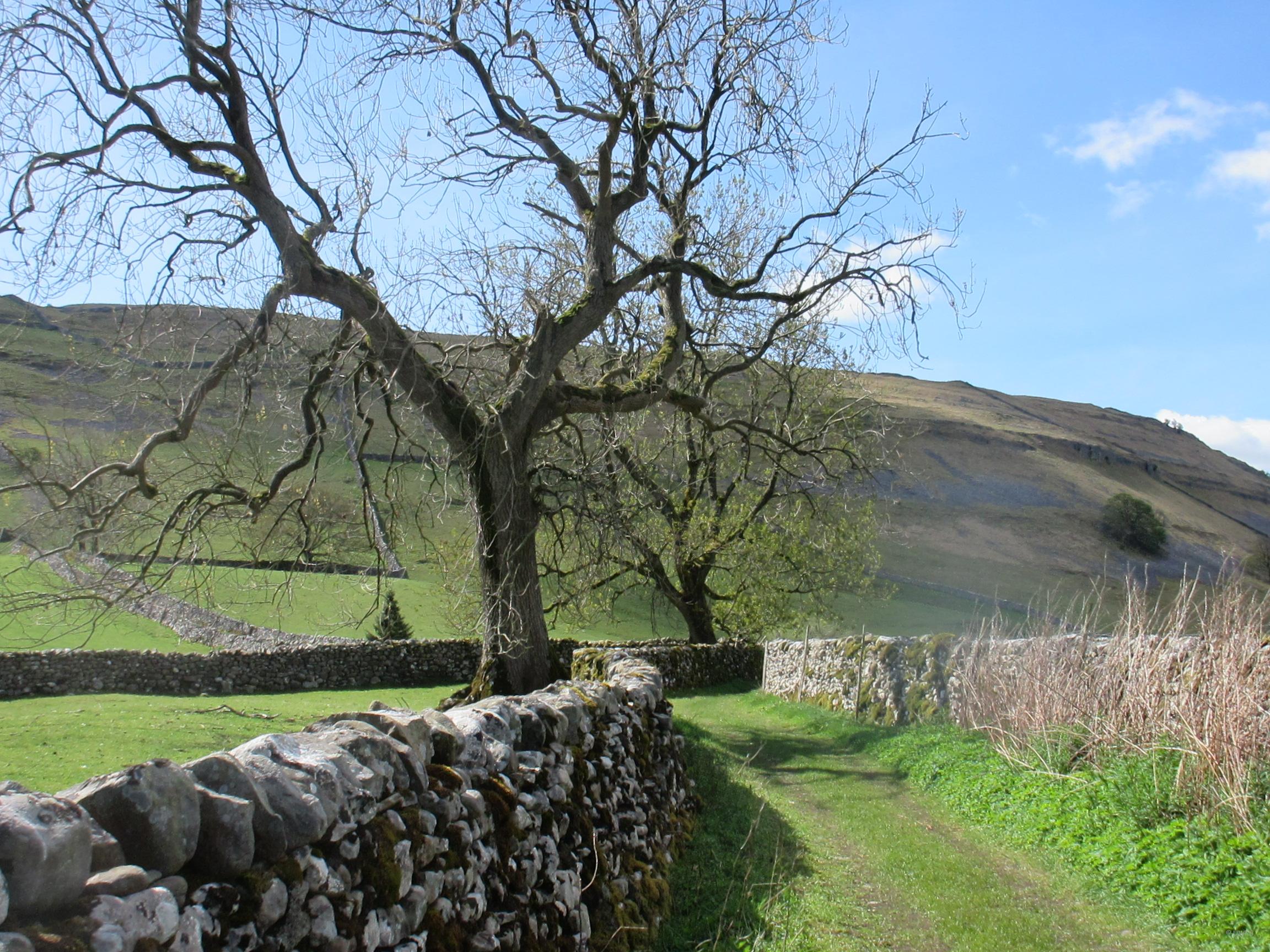
The Parish church is at the edge of the village and the site is thought to be Anglo-Saxon though the present building is Medieval. In the field adjacent to the church is a Bronze Age barrow, excavated in 1984, and earthworks that are believed to be the site of the original Saxon village. Hall Flatts and Countess Meadows on the flood plain were once church glebe lands.

Meadows which were formerly glebe lands.
It is thought that the Saxon church was destroyed by the Normans who rebuilt the church in the 12th C. During the Scottish incursions into the Hodder Valley in 1319 and 1322 most of the old Norman building was destroyed, except for the tower, and the church was rebuilt again in the 1340’s. It retains box pews and a three tier pulpit.
The farmhouse opposite the church has a weather wall, one of two in the village. Next door to the church is Brennand’s Endowed school built in 1717 as a grammar school for boys and described by Pevsner as “a pleasant building, orderly and not without substance”.

Farmhouse with weather-wall; gable end on left of picture.

Primary school founded in 1717 by John Brennand.
At the road junction in the centre of the village sit the post-16th C. buildings of note, two farms built on the longhouse pattern, the old courthouse, and two hostelries, one of which has been a Youth Hostel for some years, plus stone built cottages.

Church Street.

Hark to Bounty, Kings Arms (YHA), and Court House
Duckmire Farm is a longhouse with central through passage. Knott Gate is close to Townend and is an early 17th C. farmhouse of “three cells in linear form”. It too has a weather wall, this one almost four feet thick.
The courthouse was built in 1577, with shops on the ground floor and the courtroom above. The pub next door, the Hark to Bounty came later, c1680. Court rolls were kept in the courthouse until relatively recently when they were removed to the Lancashire Record Office.

Duckmire Farm.

Former Methodist Chapel, now part of Village Hall complex.
Taking the lane over Croasdale Beck by the old bridge brings one to Town Head. Built in 1732 it had fallen into disrepair and was on the ‘at risk’ register. It has recently been extensively renovated.
In 1831 the population of the village was 920. The working population was involved in farming and home weaving and there was a thriving hatting industry until the 19th C. Today the population figure is around 200 and people still farm, but also forestry, water supplies and tourism occupy their working hours.

Home of the Slaidburn Archive.
The day being fine a picnic lunch was had by the village green, and the day concluded with tea and cakes at the Riverside Tearooms.
Jim Hutchinson
All photographs copyright of Jim Hutchinson