The Chartulary of the Cistercian Abbey of St Mary of Salley in Craven
In the past few years, the VB/LH group has visited a number of villages in the Ribble Valley and Ribblesdale, including Ribchester and Stydd, leader Frances Bland and Giggleswick, leader Phyllida Oates. I led visits to Bashall Hall, Waddington, Pendleton, Clitheroe, Sawley, and Bolton by Bowland and in reading up on and researching these locations I discovered the reissue of “the Chartulary of the Cistercian Abbey St Mary of Salley in Craven” by Cambridge University Press. The book was first published by the Yorkshire Archaeological Society in 1934. Joseph McNulty, B.A., had translated and transcribed the Charters and added a brief summary of the pertinent points in each. He collected together those referring to each place mentioned and put them into chronological order. In some cases, he was able to add extra details from documentation held by the Townley family, and from Roger Dodsworth’s work. He also added extra information about the Abbey, one or two famous men connected to the Abbey, a list of the Abbots, and some details the dissolution. He gave a list of taxation in Yorkshire in the late 14th and early 15th centuries and corrected T. D. Whitaker on the dating of the Compotus [accounts]. Throughout the book the old name ‘Salley’ is used, but the village is now known as Sawley and I have kept to that. I found the book fascinating, as an eye-witness account of what was happening at a time when there are very few sources available to the amateur local historian. I also found out about Thomas Grindleton.
Thomas Grindleton
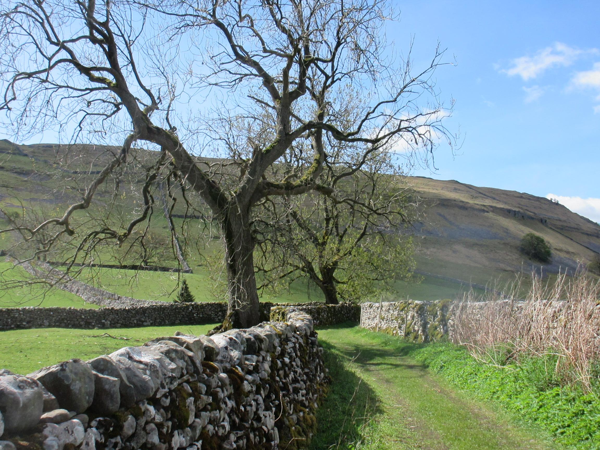
In August 1480, Thomas Grindleton drowned in the flooded River Ribble south of the Abbey at Sawley. An inquest was held into his death on the 2nd September. He was a servant of Sawley Abbey and was carrying stone across the river for the Abbey. In the “Chartulary of the Cistercian Abbey of St Mary of Salley in Craven” it is recorded that Henry of Blackburn set aside an annual rent of 2s. for the repair of the bridge and highway at Salley, in a charter dated ‘early Edward I’ [ruled 1272–1307]. Reference is also made of two fords opposite the abbey in 1148, there are signs of one ford next to the present bridge. So why was Thomas Grindleton carrying stone across the river? And by referring to the map of 1847, there seems to be no approach from the south. There seems no easy access to the river now. It is a puzzle and I do not have an answer.

The modern bridge over the Ribble at Sawley
The Abbey was founded in 1146–47, a daughter house of Newminster in Northumberland, which was itself founded by monks from Fountains Abbey. Built originally of wood and thatch, the buildings were gradually extended and rebuilt in stone. It was founded by William Percy II, the son of Alan Percy “the Great”, in a location on the border with the de Lacy lands, and not in a remote area, but on a main east-west route. [See map].This later involved the Abbey in much hospitality, which put a strain on resources, and as its situation was not conducive to cereal production, additional support had to be given by large donations such as income from St Mary’s, Tadcaster, a chapel and pension given by Maud de Percy, Countess of Warwick, daughter of the founder. Land in the surrounding area was given to the Abbey, also land in Linton, Litton and Wetherby, and the Chartulary contains numerous donations of land up to the 14thC. Some were smaller, such as the granting of a bovate, three perches and a toft in Paythorne by Richard le Wayt and Merioth his wife, daughter of Roger of Marton, which they had held since 1240.

From the display board at the Abbey ruins, looked after by English Hertage
Farming
The records of gifts in the Chartulary, and also of disagreements and conflict, describe an area being cleared of woodland, and made productive. This was not uninhabited land, and farms and villages named predate the Norman conquest, and are in many cases, still here today. The crops mentioned are corn, oats and pulses, but there are more numerous references to animals. It was then, as now, a pastoral economy. The animals reared were cows, draught cattle, mares, oxen, pigs and sheep. Deer were also hunted in Gisburn and Bowland Forests, and the Ribble provided fish for the table. Soon after the foundation of the Abbey, Henry de Lacy gave permission for the ‘newly arrived’ monks to strengthen their dam, make a fish pond and build a mill. The line of the leat can still be traced behind the houses in the village.
Grants to the Abbey
The rights of tenants in the forest applied also to the monks. Pannage and estovers, assarting and stubbins, crofts and tofts, enclosure and encroachment were all part of the daily lives of the people farming in the area.
In the main, the chartulary is a record of grants to the Abbey, but it also seems to have been a repository of agreements between individuals, and some included commodities which are not produced locally. For instance –
Grant of Robert Vavasour to John clerk of Blackburn for his homage and service, 24 acres between Kalvergill and Wicongill and pasture rights; rent 1lb pepper. John could have his corn ground at Bolton [by Bowland] mill, or take it where he wished. Vol 1. P73. Dated late Henry II [ruled 1154 to 1189.]
Grant by Malager Vavasour to Roger son of Everard, of one toft in Bolton and four acres near Edricgill, for a pound of cumin annually at Christmas. Vol 1 P 73. Dated 1204-9
Hugo son of Adam of Stainford granted to Aldus daughter of Swain of Giggleswick a bovate in Stainford for her homage and service, paying a lb. of cumin or 2d. at Christmas and doing forinsec service. Vol 1 P 189 Dated Early Henry [ruled 1216–1272.]
The Chartulary records some early discord and disagreement between Whalley and Sawley Abbys, but the Prior and chaplain of St Saviour’s at Stydd near Ribchester spported Sawley.
Prior Alexander and Adam the chaplain gave half an acre for houses and a mill, and a watercourse outside their garden; husbote and hailbote, and the bark of oaks felled by the brethren at Stydd; pasture for 8 oxen, and wayleave; Salley to pay them 1lb. of wax at Christmas. Vol 1. P 145. Dated post 1241.
Husbote -The right of tenants to take wood from their lord’s land for the repair of their houses.
Firbote – The right of tenants to take wood from their lord’s land for fuel.
Hailbote – wood granted to the tenants for the repair of fences.
Wayleave – an agreement permitting access the land to carry out works in return for compensation.

There is little of the structure of the buildings left.
Dissolution
When Sawley Abbey was to suffer at the hands of Henry VIII and Thomas Cromwell, a new rising had begun to form in Westmorland and Cumberland, and spread into Yorkshire. Many men of north east Lancashire and the Yorkshire Dales joined the Pilgrimage of Grace in an attempt to keep Whalley and Sawley Abbeys open. Nicholas Tempest of Bashall and Stephen Hamerton of Hamerton Hall near Slaidburn were local leaders. This proved impossible and in the end Tempest and Hamerton were summoned to London. Hamerton, being a knight was beheaded and Tempest was hanged, drawn and quartered. Sir Thomas Percy suffered similarly, and Sir Richard Tempest was called to London and died in the Fleet prison. The last abbot of Whalley, John Paslew, was hanged at Lancaster in 1537. In the same year, Thomas Bolton, the last abbot of Sawley was also executed.
Leonard Beckwith was appointed in 1536 to take over Sawley Abbey and evicted the monks, and so, in 1538, Sir Arthur Darcy ‘received the site, circuit and precinct of the monastery of St Mary, Salley, Yorks, dissolved;’. He was the son of old Lord Thomas Darcy of Yorkshire, who had whole heartedly supported the Pilgrimage, and been beheaded on Tower Hill. Amongst other rewards Arthur Darcy also appropriated the manors of Staynforth, Langcliffe and Stainton, and the manor and forest of Gisbourne, £4. 5s. annual rent from the vill of Grynleton, and tenements and messuages in a wide area around Bowland and beyond. Beckwith estimated the plate and jewels from the abbey to be worth £72. 2s. 10d., with the rest of the goods, together with the lead and bells to be sold to Darcy for £300. 18s. 1d.
Another source says the King gave Darcy goods including bells, lead, vestments and copes, and corn in the barns [garners] and fields.
[British History Online. Victoria County History. A History of the County of York: Volume 3 Editor William Page: published 1974.]
Routes and Roadways
The map of 1847, below, shows how near the road was to the Abbey. The modern A 59 now bypasses the village, and a modern map influences our view of the area. But a current OS sheet allows you to trace an old route from Whalley, and its Abbey, via Pendleton and Downham, under the railway line and over a foot bridge [pack horse], and cross to the A59, and then down to Sawley Abbey. I speculate that this would be taken when a monk from Sawley went to Whalley Abbey to warn his brother, and the others, that they were in danger, at the time of the dissolution.
There are few roads referred to in the Chartulary, but the road to Bolton by Bolton is described as being below the hedge which surrounded the monks’ hunting ground. The bridge here is one of the few crossing points over the Ribble, and the route comes from Preston [a fishing village in the Chartulary], to Ribchester, and along the north bank of the river, to Wigglesworth, Rathmell and Giggleswick.
In Bolton by Bowland, William son of Robert of Salley, granted to the Abbey, Hugh the carpenter, and all his issue and chattels!!! Also, seven acres which Hugh held on each side of the highway, and the toft in which he resided, and a demesne toft between Hugh’s house and the highway, marked by crosses. The annual rent was two shillings, and the dated to the reign of Richard I.
However, negotiations over rights of way across different owner’s land are included. William of Marton granted a road twenty feet wide so that the Abbey could gain access to its grange at Stainton near Staincliffe, and granted right of way for carts and animals over his pasture at Marton, between the Abbey, its grange and Skipton. The bridge which carries the modern A59 over Stock Beck, near the turn off to Barnoldwick, is still called Monk Bridge. To the north of West Marton and Gledstone Hall are various buildings now marked on the map with ‘Stainton’ names. This seems to fit with entries in the Chartulary, although it is a long time since there was a grange there.
The modern book is in two volumes, so there is a wealth of treasures yet to be discovered.
Marion Hutchinson