Further to a previous study of Rylstone, Peter progressed to neighbouring Fleets, where the group met. Fleets is the narrowest part of the complicated parish of Rylstone which has nine bordering parishes, on the watershed between the valleys of the Wharfe and Aire. Early settlers established in the valley but succeeding colonisers such as the Norsemen preferred higher land of the area which in all became the parish of Rylstone. Fleets was probably given its name by Norsemen, meaning “island of dry in a marshy place”.

Higher Fleets (a) Photo Phyllida Oates
We were welcomed at Higher Fleets house by Bill Haigh, and Sheila Stoney of The Rylstone Project. Bill gave the group an absorbing account of Fleets history, how the area emerged in farming, families, the draining of marshland, and the ancient routes to the important monastic grange in Bordley and across Boss Moor. Higher Fleets house was a 17th century yeoman’s farmhouse inclusive of barn, hayloft and kennels, with typical external features. Internally we were shown the interesting ground floor layout, stone fireplaces and original beams.

Higher Fleets (b) Photo Phyllida Oates
Early records of Fleets indicate the existence of various cottages and farmsteads, well dispersed on the higher ground where Sunhill and Higher Fleets are now situated, remote from Rylstone but still contributing to the economy of the parish. Lower land was still too marshy for cultivation. Buildings would have been single-storey timber, possibly with cruck trusses, later rebuilt in stone. The first map to indicate Fleets is Jeffrey’s map circa 1771 which shows two lanes leading north out of Hetton, one to Skirethornes over the top of Swinden Hill (not yet quarried) and the other direct to High Cow House (no reservoir yet). The current Fleets Lane did not exist until the later Greenwood map of 1818.
The Parish register at St. Peter’s church in Rylstone records the baptism of Alice Moorhouse of Fleets in 1572, and many records exist of the Moorhouse family in following years, probably farming and improving land from medieval times. Over the period from about 1645 to 1705 other registered families in Fleets were the Knowles, Westwoods, Gregsons and Kitchings, the main occupations being landowner, yeoman, or tenant farmer. There were coalminers too such as Hardie, Bayle and Harrison, probably working the coal pits on Boss Moor and eventually living more comfortably in Fleets. Other inhabitants of the community were involved in textiles, weavers, a hatter and a shoemaker.

Fleets House (a) Photo Phyllida Oates
The Moorhouse family was relatively wealthy and may have occupied the main building, “Fleets”, now known as Higher Fleets and which was rebuilt in stone by the Kitchings family around 1660. Kitching was a yeoman farmer with Quaker contacts and had the capability to improve the building. William Maude was the successor of Fleets farm in 1832, 111 acres, and he and his family expanded and improved the acreage over the next ten to twenty years. He bought Sunhill farm, another 132 acres, and parcels of land east and west, thereby increasing his estate to about 500 acres.

Fleets House (b) Photo Phyllida Oates
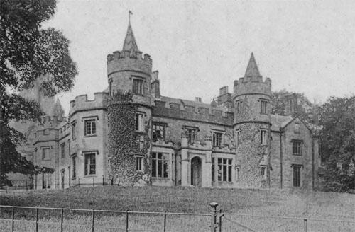
William Maude originally lived in (Higher)Fleets but then succeeded Richard Waddilove (Squire of Rylstone in Rylstone Hall) and became Squire around 1850. William’s son, Abraham, took over the running of the estate with tenant farmers at Fleets and Sunhill. Extensive civil engineering works were carried out over the Maude estate. Further down from Higher Fleets, Abraham erected symmetrical buildings around a courtyard and built a south-facing Georgian-style residence with a ha-ha and garden. Castellated walls were constructed around the property and included cast-iron gates off Fleets Lane, providing a sweeping entrance to what became known as “Fleets” or “The House”. Fleets Beck was culverted under the courtyard, and the marshes south of the house were reclaimed with an impressive system of drains and channels, all eventually draining into the River Aire. Numerous trees were planted, particularly beech, which have matured successfully. Very sadly Abraham’s two grandsons were killed in the first World War, so when Abraham and his son died there was no male heir to the estate.

Castellated Wall Photo Phyllida Oates
After viewing these two properties we walked up to Sunhill Farm. The area had been used for stock-holding on this previously working farm, later owned by the Tiplady family. A long barn was built in 1710 with high-arched accesses, and this is still an impressive building but now converted into several residential apartments.

Sunhill Farm Photo Phyllida Oates
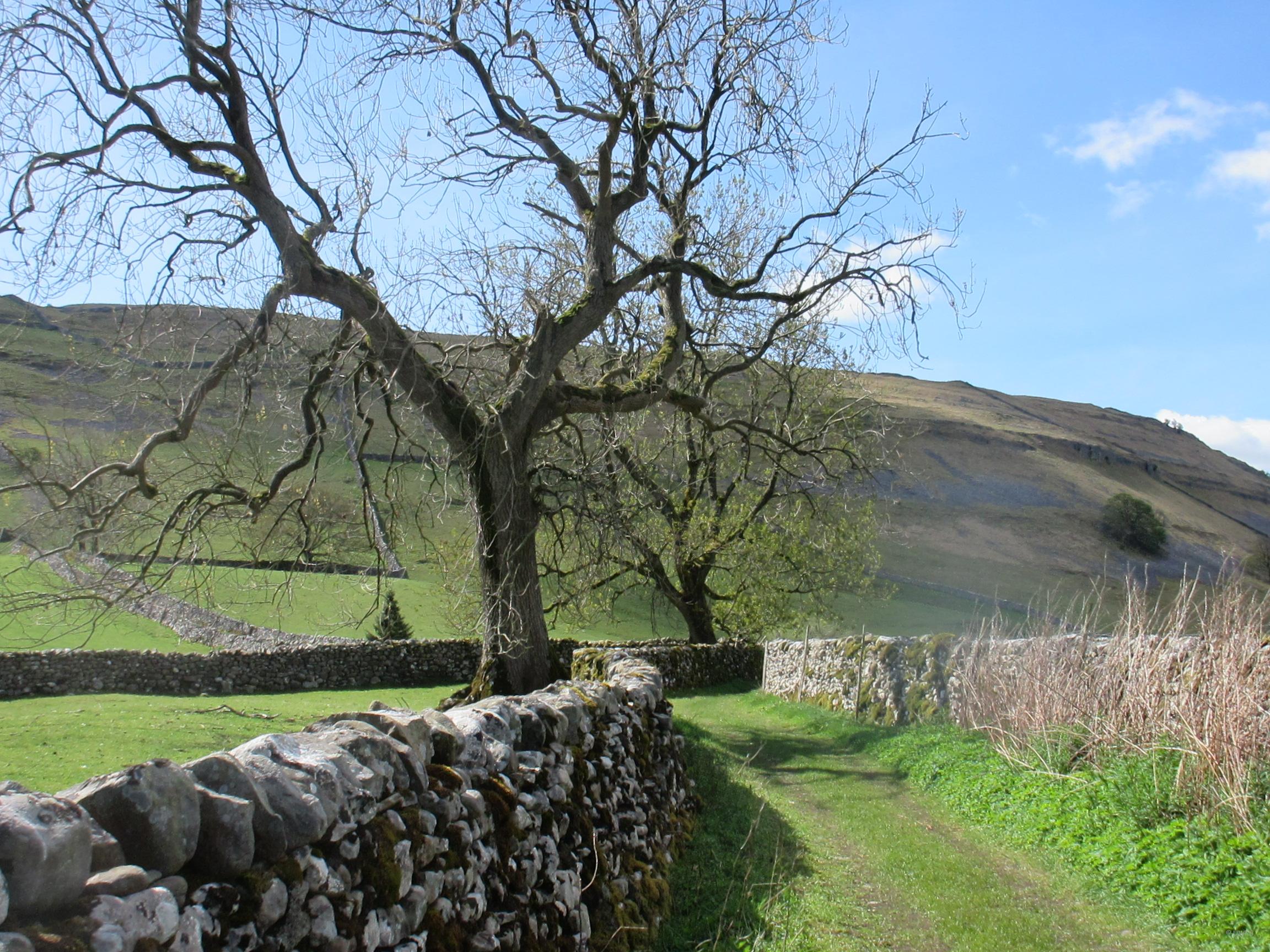
The title picture shows the view from Fleets Lane to the boundary between Rylstone and Cracoe.
We did plan to go on to the ancient Chapel Lane between those two places to see the “Plague Stone” or “Cross” on that boundary, but the weather was closing in. An image of the stone is with this report though, from a previous visit. Legend has it that it was the site of a (monastic?) cross, or connected with the 1665 plague which affected folk of Rylstone. Vinegar may have been placed in the stone’s bowl by Cracoe folk, and food under the stone, in exchange for money left in the stone (?).

Plague Stone. Photo Phyllida Oates
We did greatly appreciate this understanding of Rylstone’s northerly section, Fleets, …… and the generous tea presented to us in Bill’s farmhouse when chattery questions and answers continued before we departed.
Report and photos by Phyllida Oates
With thanks to:
Bill Haigh, and his booklet
Sheila Stoney (Rylstone History Project)